When Donald Trump slapped heavy tariffs on friendly nations, the official line was clear: punish Russia, protect Ukraine. But scratch beneath the surface, and a different story emerges—Ukraine may be the headline, but the real drivers of this aggressive trade posture are threefold:
Oil: America’s Comeback Commodity
In 1975, the United States imposed strict limits on crude oil exports to shield itself from global market volatility. For the next four decades, it played a quiet role in oil production, instead exerting influence through massive investments in the Middle East and military bases strategically placed near oil-rich regions.
Then came a seismic shift, in 2015, President Barack Obama signed legislation lifting the export ban. Fast forward to 2024–25, and the U.S. is now the world’s largest producer of oil and natural gas, pumping out 20,135 thousand barrels per day—nearly double the output of Saudi Arabia (10,856) and Russia (10,752).
But production is only half the battle. The world’s two biggest oil consumers—China and India—still source most of their crude from Russia, the Middle East, Nigeria, and other suppliers. Meanwhile, America’s oil exports have surged, with mineral fuels, oil, and oil products accounting for 16% of total U.S. exports in 2024–25, making it the country’s top export category.

Yet, cheap Russian oil and India’s refining prowess are undercutting American refineries. The threat isn’t just economic—it’s existential. The U.S. oil industry faces stiff competition, and Europe, with few alternatives, is nudged into alignment with Washington. The narrative of “saving Ukraine” masks a deeper motive: saving America’s own oil empire.
The Shrinking Circle of Wealth
For decades, the world’s top 10 economies—led by the U.S.—dictated global policy across trade, health, innovation, and defence. The G7 was once a powerhouse capable of shaping the fate of nations. In 1975, global GDP stood at $6.03 trillion, with the top 10 economies contributing $4.57 trillion—an overwhelming 75.7% share. The U.S. alone produced 27.8% of global GDP.
But the tides have turned. By 2025, the top 10 economies account for just 67% of global GDP. America’s share has dipped to 26.8%, and several of its traditional allies have slipped from the top ranks. In their place, China, India, and Brazil—backed by the BRICS alliance—have emerged as formidable challengers.
China now commands 16.8% of global GDP, positioning itself as a direct rival to U.S. dominance. The balance of power has shifted, and the era of unilateral decision-making is over. The last time America faced such a challenge was in 1985, when the Soviet Union held 16.8% of global GDP and the U.S. stood at 33%. That was the height of the Cold War. Today, the contest for economic control is just as fierce—even without the backdrop of a war in Ukraine.
China: Breathing Down America’s Neck
For half a century, the U.S. enjoyed uncontested leadership among the world’s top economies, especially after the Soviet Union’s collapse. In 1975, America produced $1.68 trillion—37.5% of the top 10 economies and 27.8% of global GDP. Between 1975 and 2020, the U.S. consistently contributed 35% to 40% of the top 10 GDP, peaking at 42.1% in 2000.
China, ranked ninth in 1975 with a modest $0.16 trillion GDP, was no threat and often seen as an ally. But after 2000, the landscape shifted, China climbed to sixth place, contributing 11.7% of the top 10 GDP. By 2020, its share had surged to 25.9%, and it has held above the 25% mark for five consecutive years. This dramatic rise disrupted America’s dominance within the elite economic club.
As of 2025, the U.S. economy stands at $30.5 trillion, while China trails closely at $19.2 trillion—63% of the U.S. total—with a higher growth rate. No nation has ever came this close to match U.S. economic power—not even the Soviet Union, whose economy in 1985 peaked at just 50.8% of America’s.
India’s rise to fourth place among global economies, coupled with its independent foreign policy, adds further complexity. The U.S. struggles to consolidate the influence of top economies to counter China’s momentum. The absence of domestic fossil fuels in both China and India makes them reliant on foreign energy markets—a vulnerability the U.S. seeks to exploit to regain control over global trade and protect its oil sector.
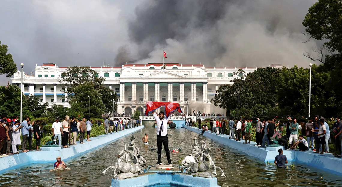
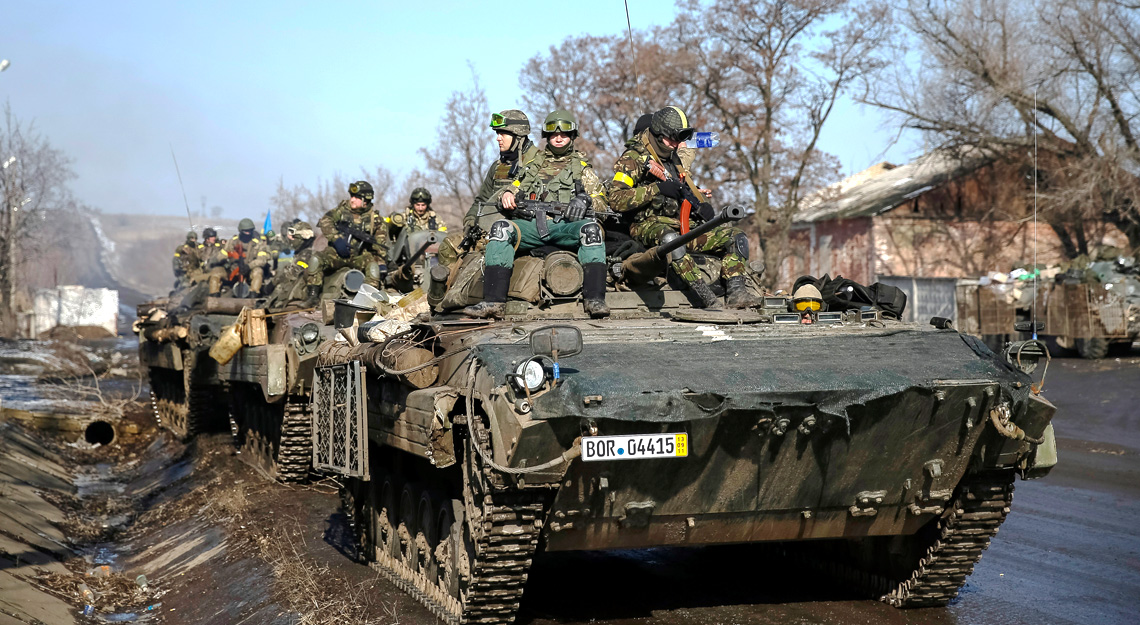
Meanwhile, millions of Ukrainians remain caught in a geopolitical crossfire, unaware that their suffering is part of a larger contest between global titans—not merely a war with Russia, but a struggle for economic supremacy.